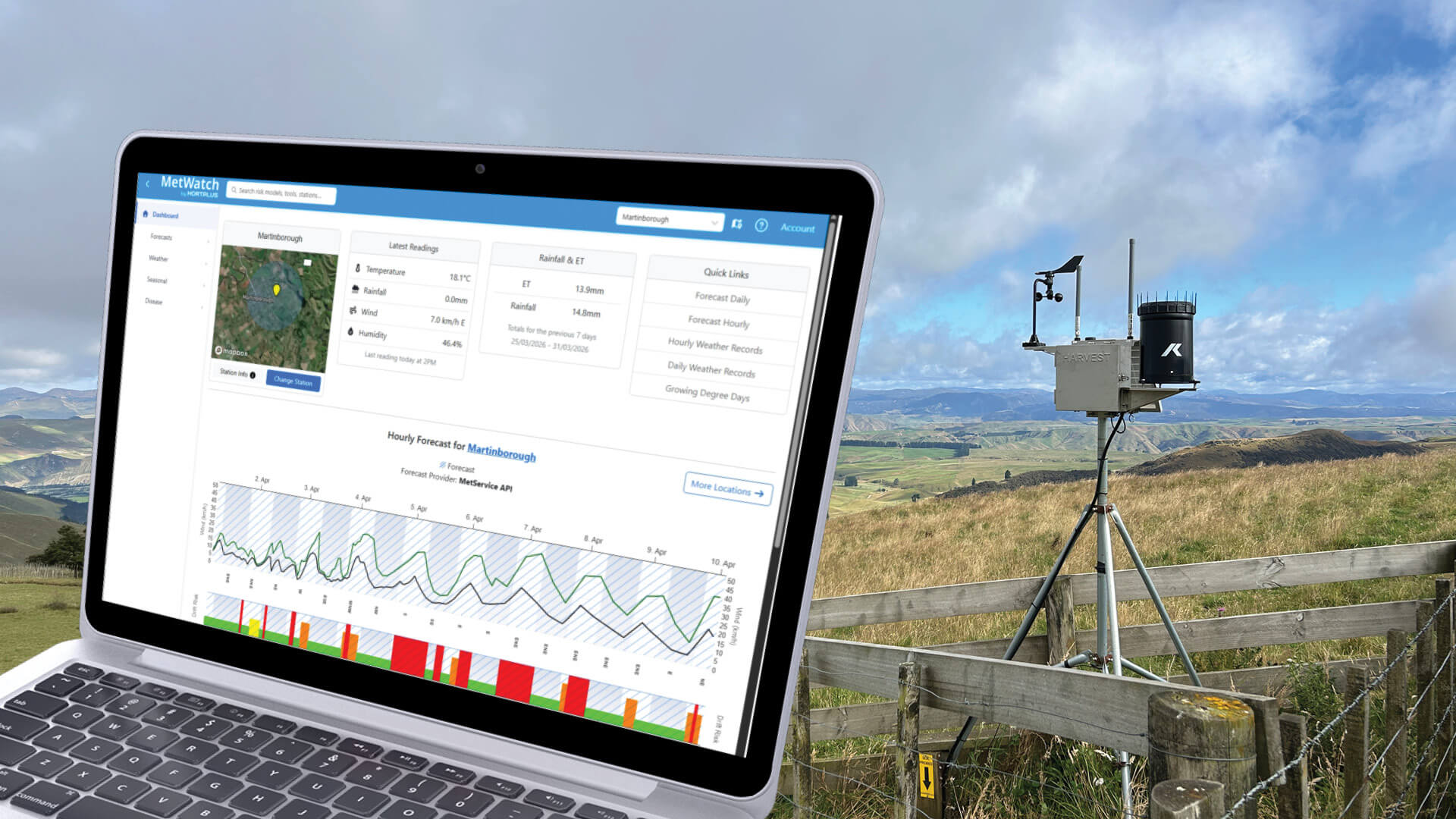
MetWatch's weather screens have received a major upgrade with the launch of Combined Forecasts – a new dashboard that brings together all your key weather data and lets you compare forecasts from multiple weather services on a single page.
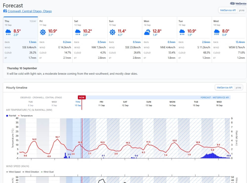
The headline feature of the Combined Forecast page is that it displays all the key hourly weather data you already enjoy in a way that is easy to take in at a glance. There’s information on temperature, rain, wind speed, cloud cover and evapotranspiration – as well as helpful extra detail, such as spray drift risk, barometric pressure, solar radiation and relative humidity. We’ve set things up so you can see the past two days of weather data on the same screen, as well as the forecast for the days ahead.
All of this is particularly helpful for orchardists planning activities like spray applications to protect their crops, or making decisions around irrigation. That last one matters more than usual right now as the current El Niño weather pattern strengthens over the Pacific, bringing drier weather to some areas, and wetter weather to others, over the coming months.

Another keenly anticipated feature of the Combined Forecast page is the ability to switch between different weather providers to compare their forecasts.
Having more than one weather service to choose from should be helpful in some parts of New Zealand and Australia if you find one of the two providers’ forecasts more accurate for your location. If you have your own on-orchard weather station, you can also connect it to MetWatch.
Note that this feature is only available by default to individual MetWatch subscribers at this stage. It may be added to our industry-specific weather and disease portals in future if the demand is there, so watch this space.
Log in to MetWatch and select Combined Forecast from the Quick Links box, or find it under the Forecasts dropdown on the left.